Found the Scenic Overlook!
Everything I have read about the Ray Roberts Greenbelt trail mentions an overlook. I’ve seen the overlook from the bottom; but the question that I never could find an answer to is “exactly how do you get to the overlook”? It seemed like it’s some well-kept secret. Well, for better or for worse, I’m about to expose the truth!
There is an overlook…and I have found how to get to it…but I’m going to make you suffer through the usual recanting of the day.
My intent was to hike the Equestrian Trail; however we had a pretty big rain event earlier in the week and they had that trail chained off. Not to be one who is easily deterred, I went around the chain and headed up the trail. First, one foot sunk, and then the other…I looked up.
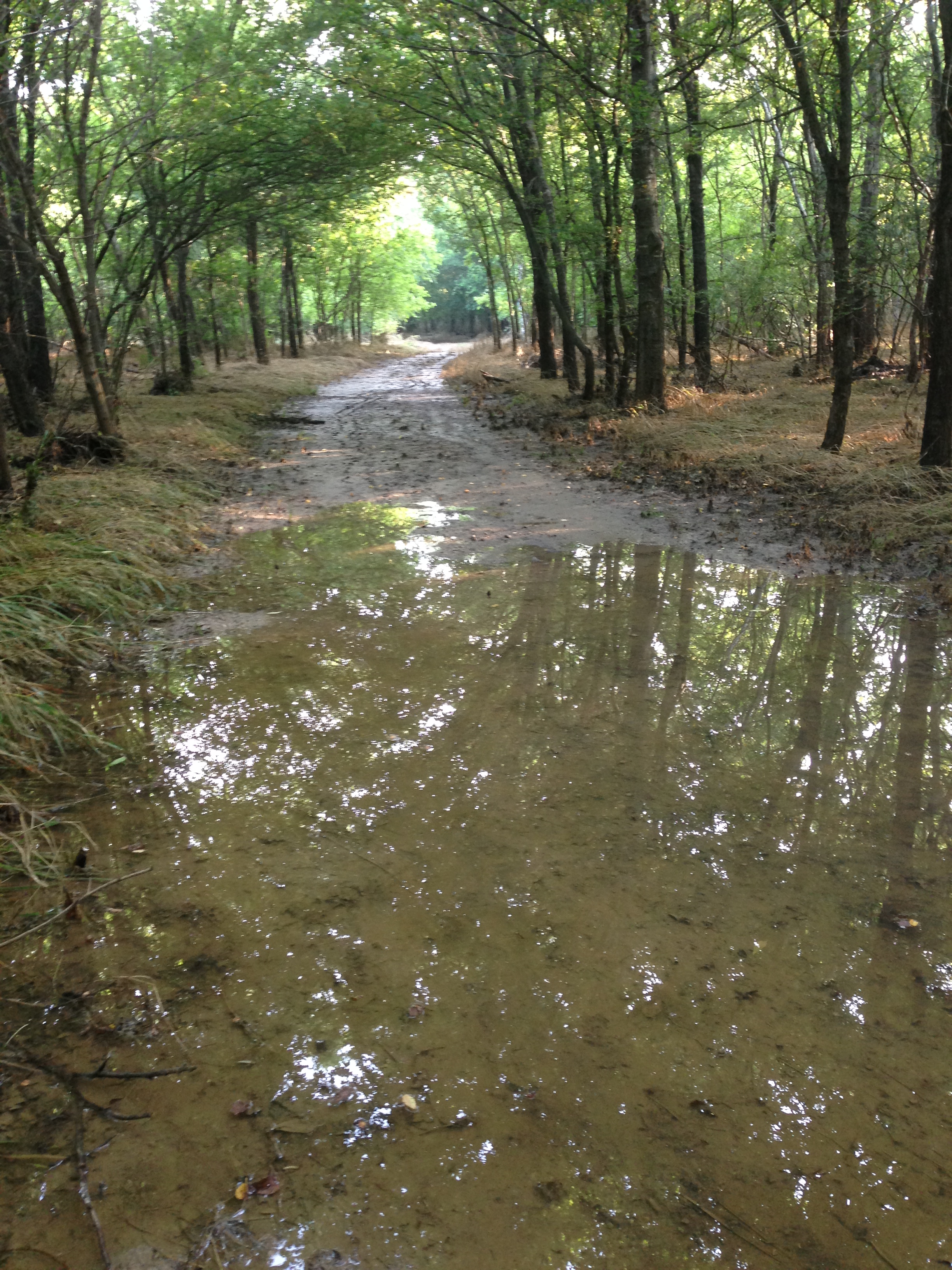
Water Logged
Yeah…no. So I headed back to the original hike/bike trail.
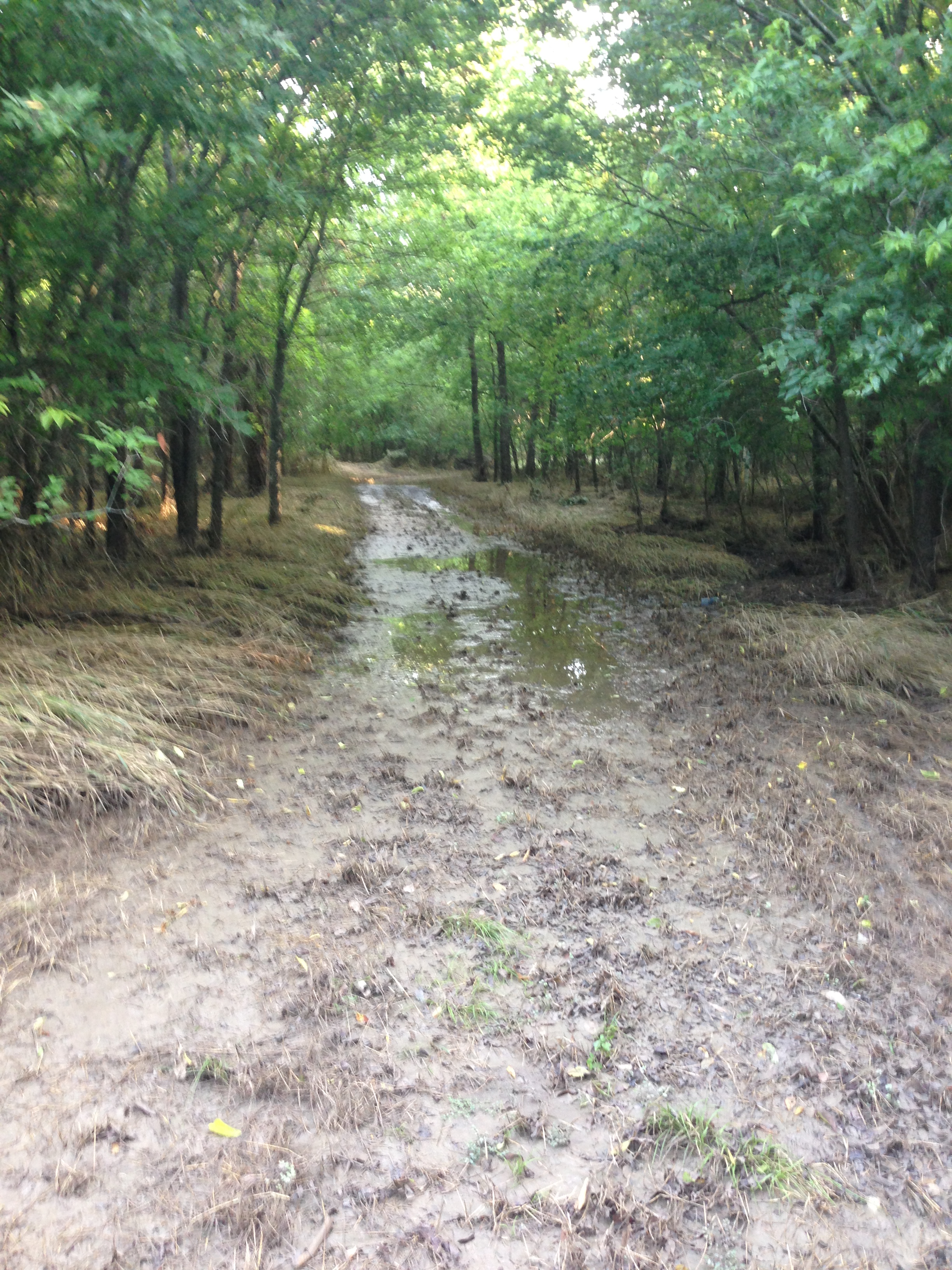
About two and a half miles in, at the sign telling you have about 3.85 miles to FM423, there looked to be another turn off that connects the hike/bike trail back to the Equestrian Trail. I figured maybe that first section was sloppy and it gets better. It didn’t get better.
…really…I just need to stop.
While I did see a ton of interesting tracks, my tracks were slowly becoming a disaster after I tried about 100 feet of this slog.

I’ll never be allowed in the house like this.
I resigned myself to the fact that I would have to keep to the regular trail and my dreams of hiking the Equestrian Trail will have to wait. However, I wasn’t disappointed.

this looked like two deers fighting with antlers
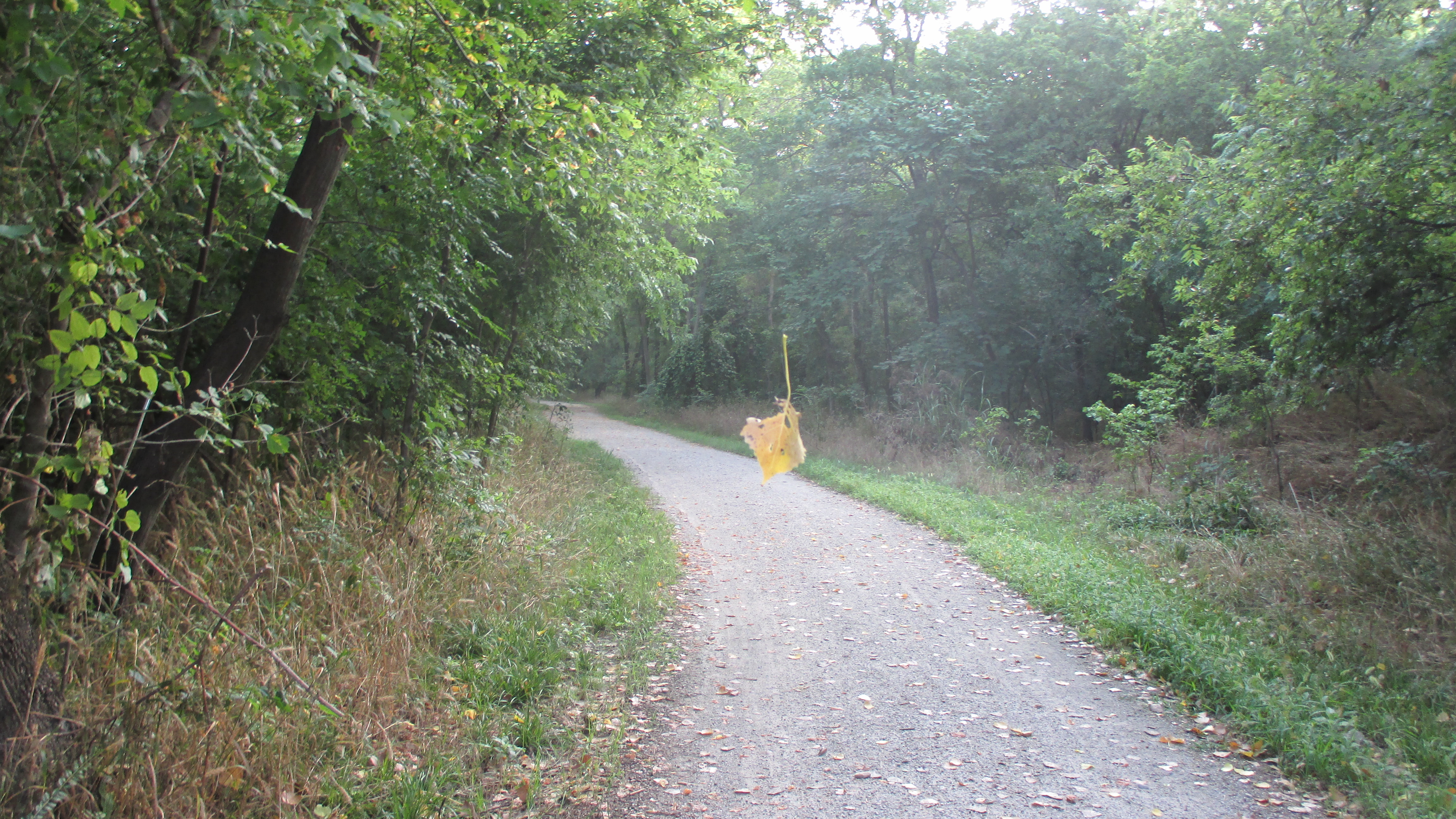
magical leaf floating in thin air
I finally approached the next sign alerting me to the upcoming FM 423.
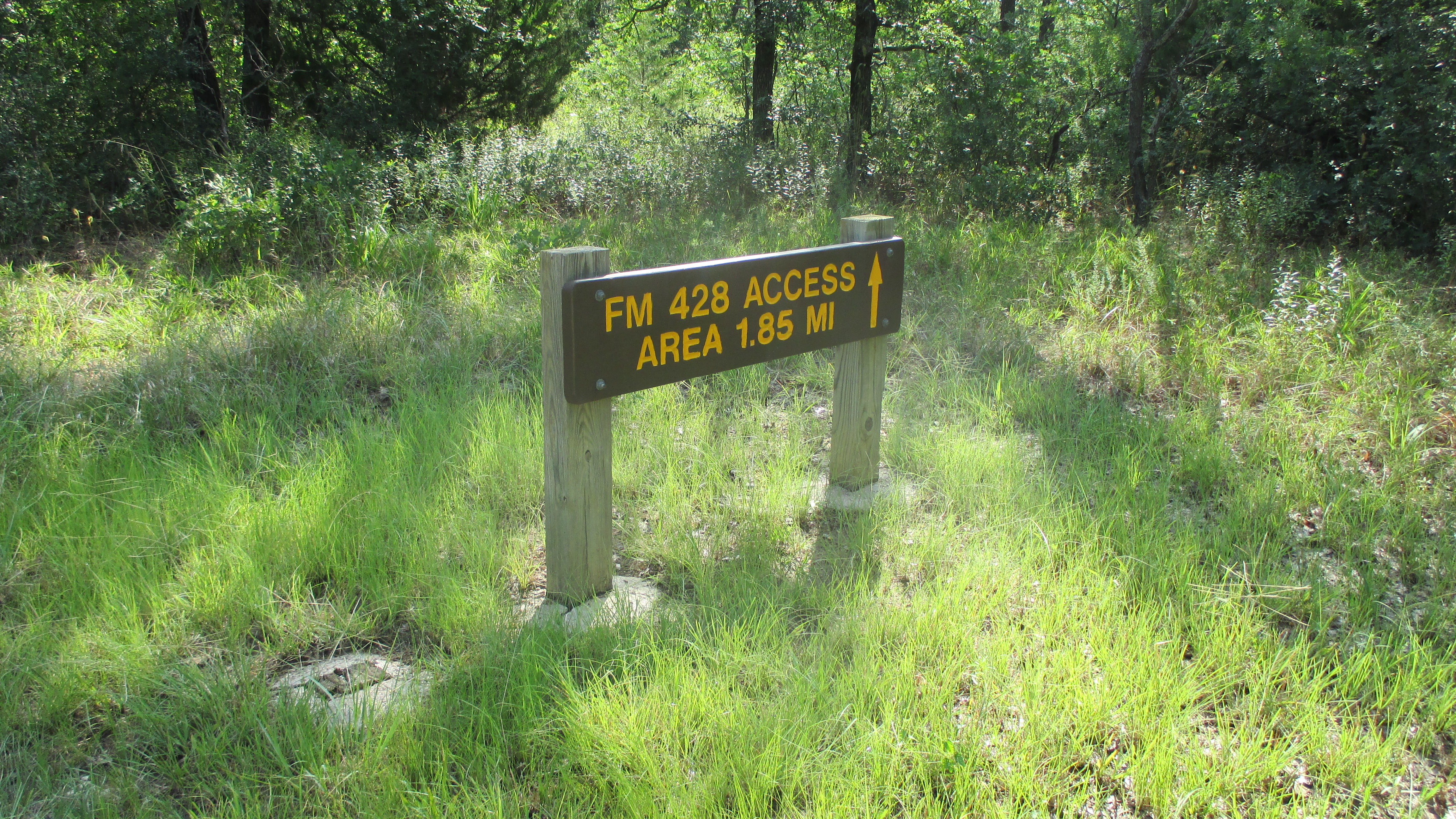
FM 423
About 20 paces past this sign, you come to a fork in the trail, with a red dirt trail going off to your right toward the east. What the hell….the last two trips were a disaster with the soggy conditions, let’s try it again.
I turned right and started heading east. The trail was a little dryer; still wet, but not as bad as the ponds. I came up to this sign.
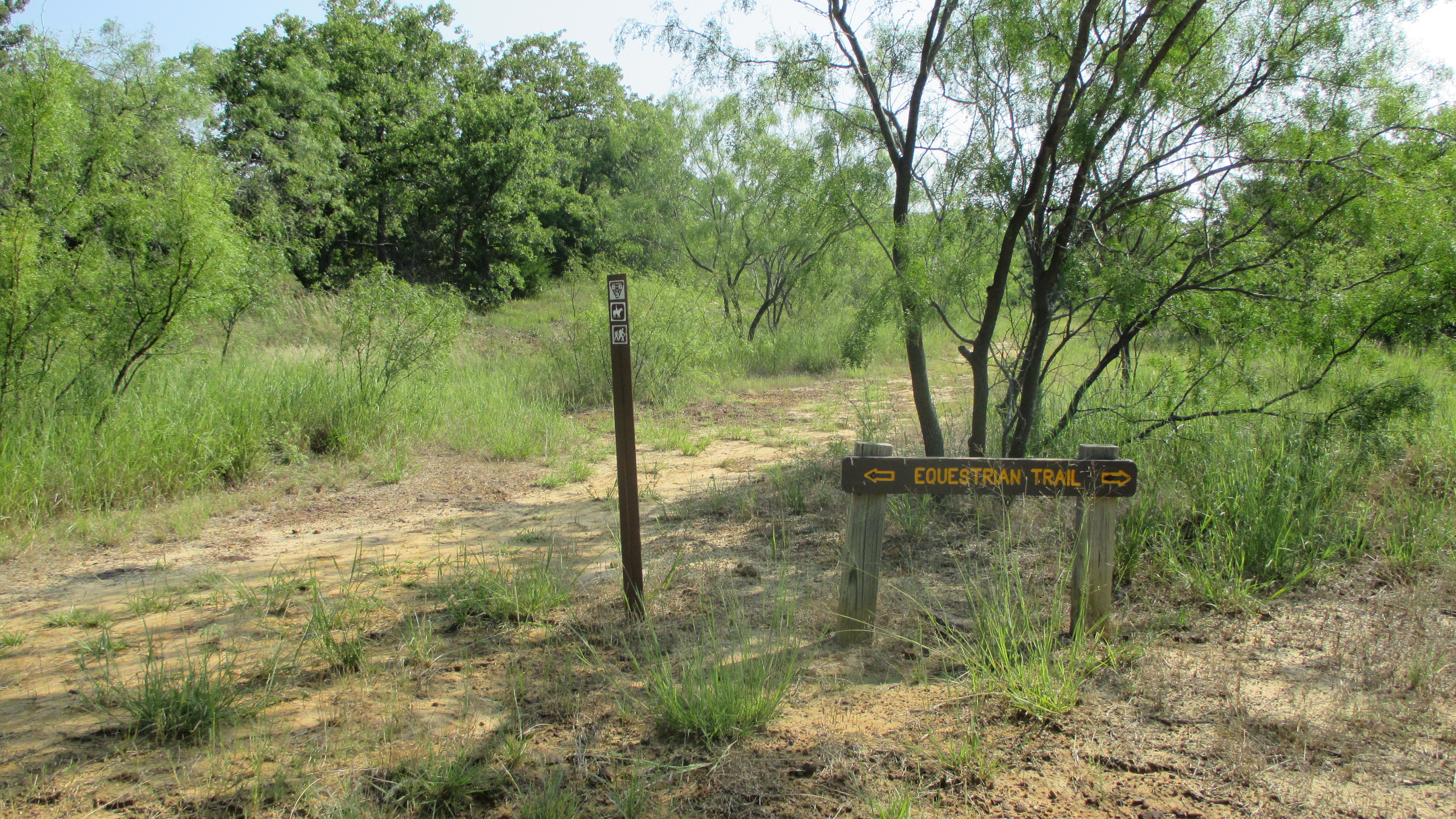
Equestrian Trail
You can faintly see a trail to the left of this sign…so I decided to go for it.
Road less traveled
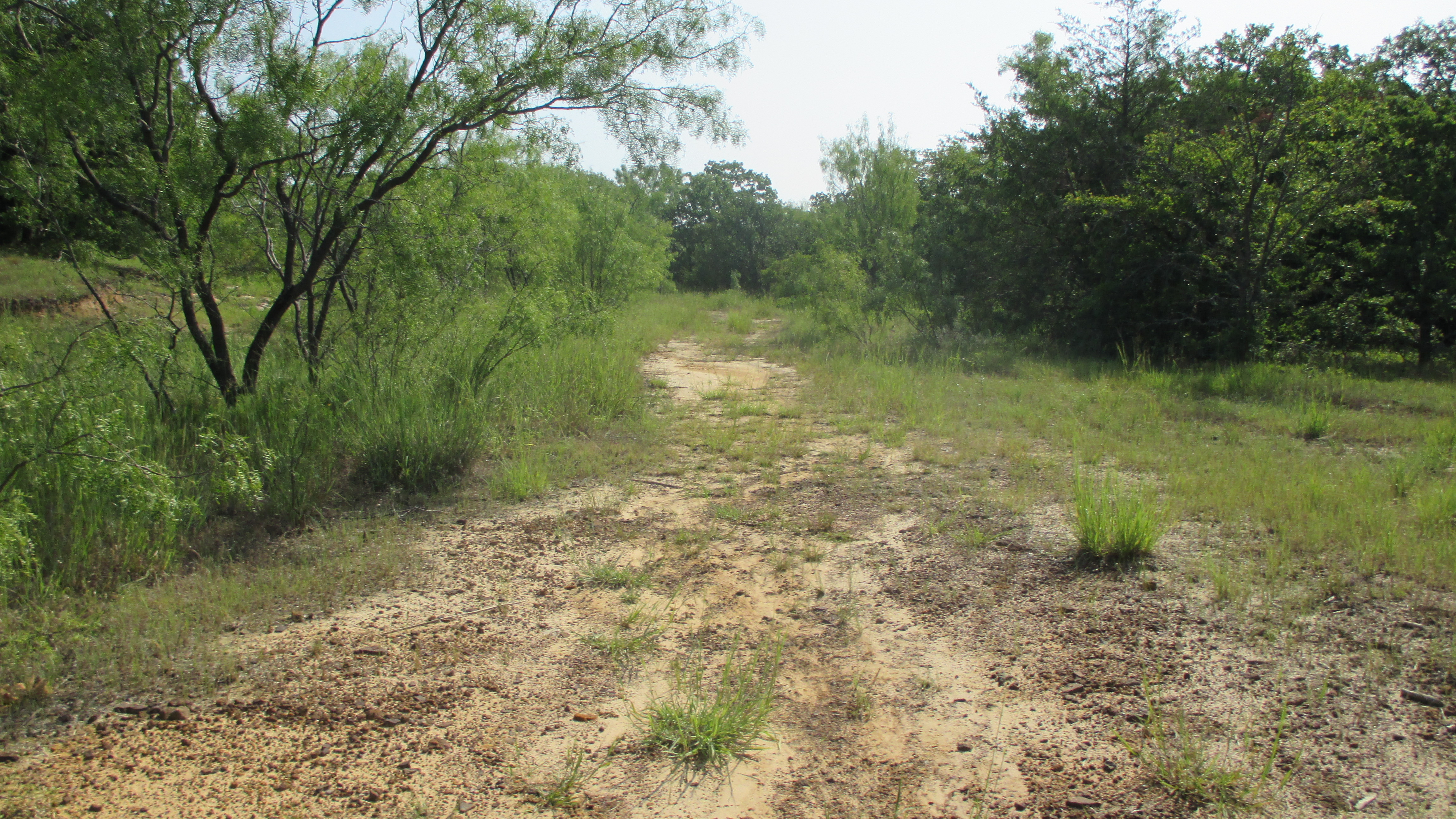
The trail heads east for a bit and slowly turns north and up. North and up is a good direction. There were a few places where you think you may have lost the trail, but looking ahead I could see what looked like a trail. At the top of the trail I met this girl and her herd.
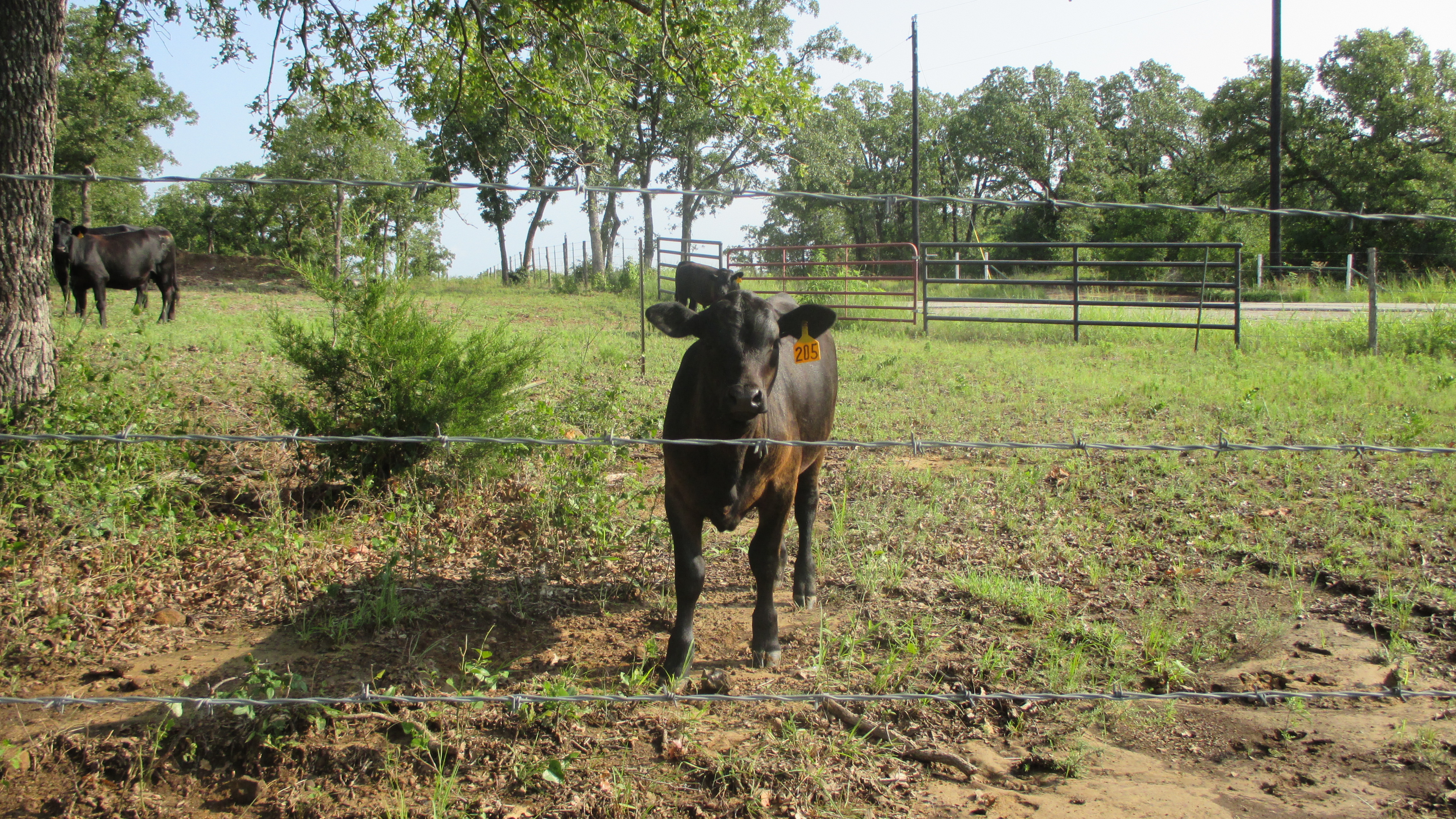
You lookin’ at me?
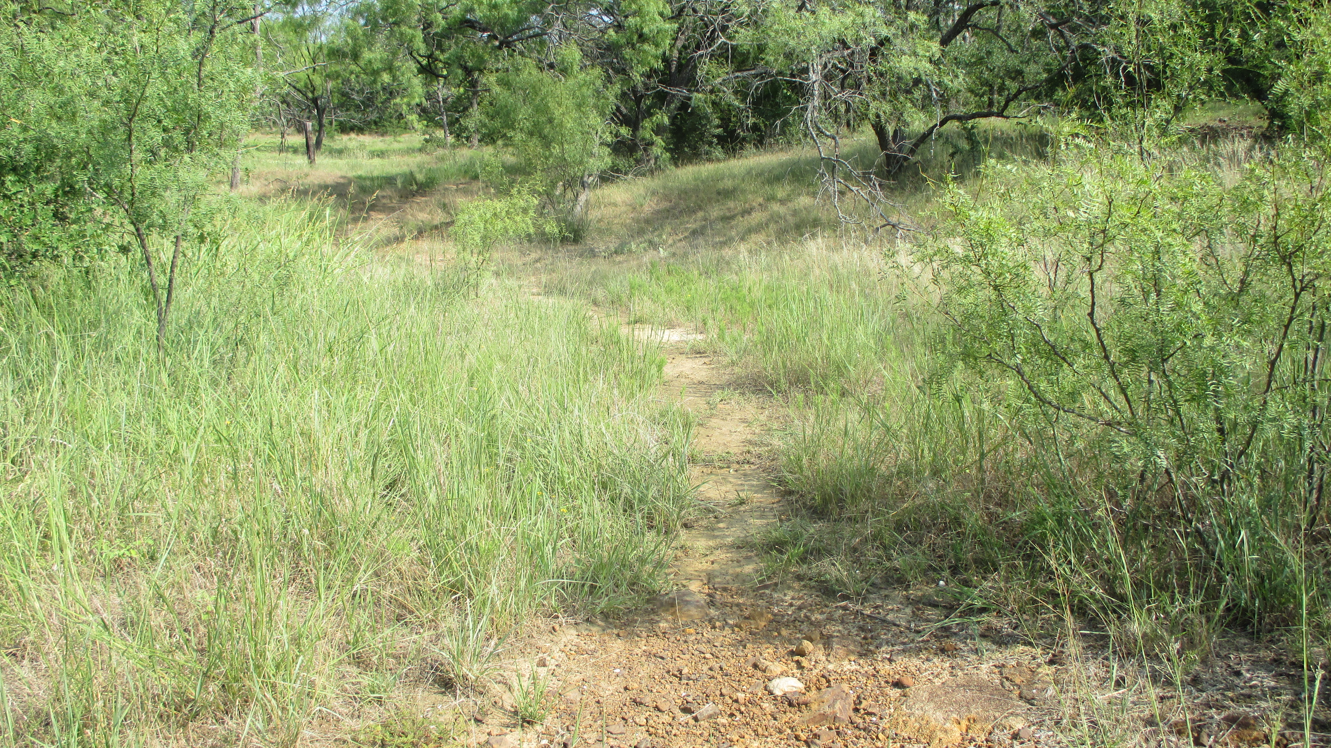
This is where the trail ended…or so it seemed. I looked to my right. That headed down and I wanted to go up. I looked to my left and amongst the tall grass I could see a faint trail….the trail now headed west, but at least it was heading up and there looked to be a sign post that direction. So up it was. And what was on the signpost? Well…a sign of course!
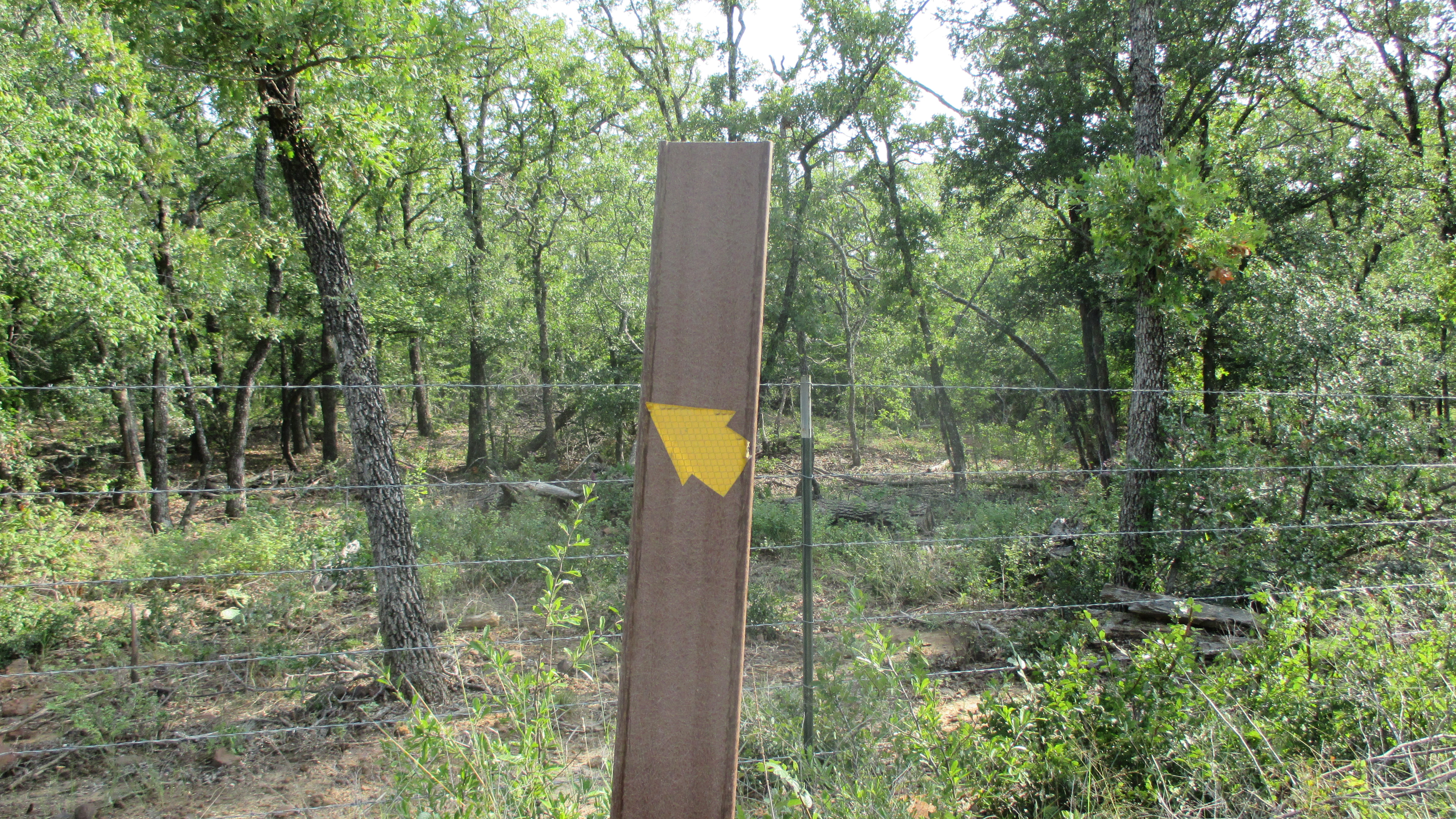
This looks promising
This is what it was pointing to…you can see a faint trail that heads west and up, but then turns north at the corner of the cow pen.
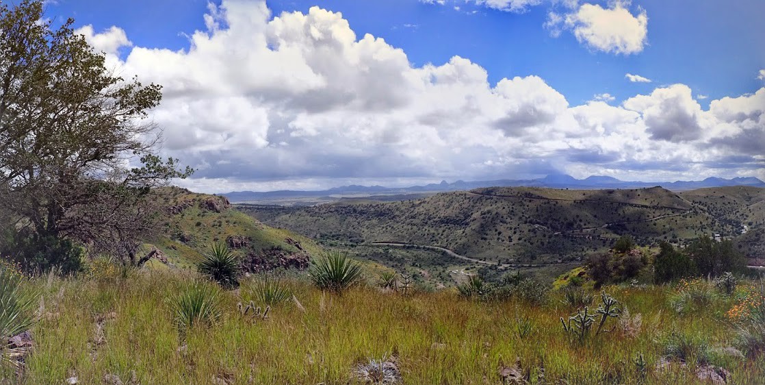
Scenic overlook trail?
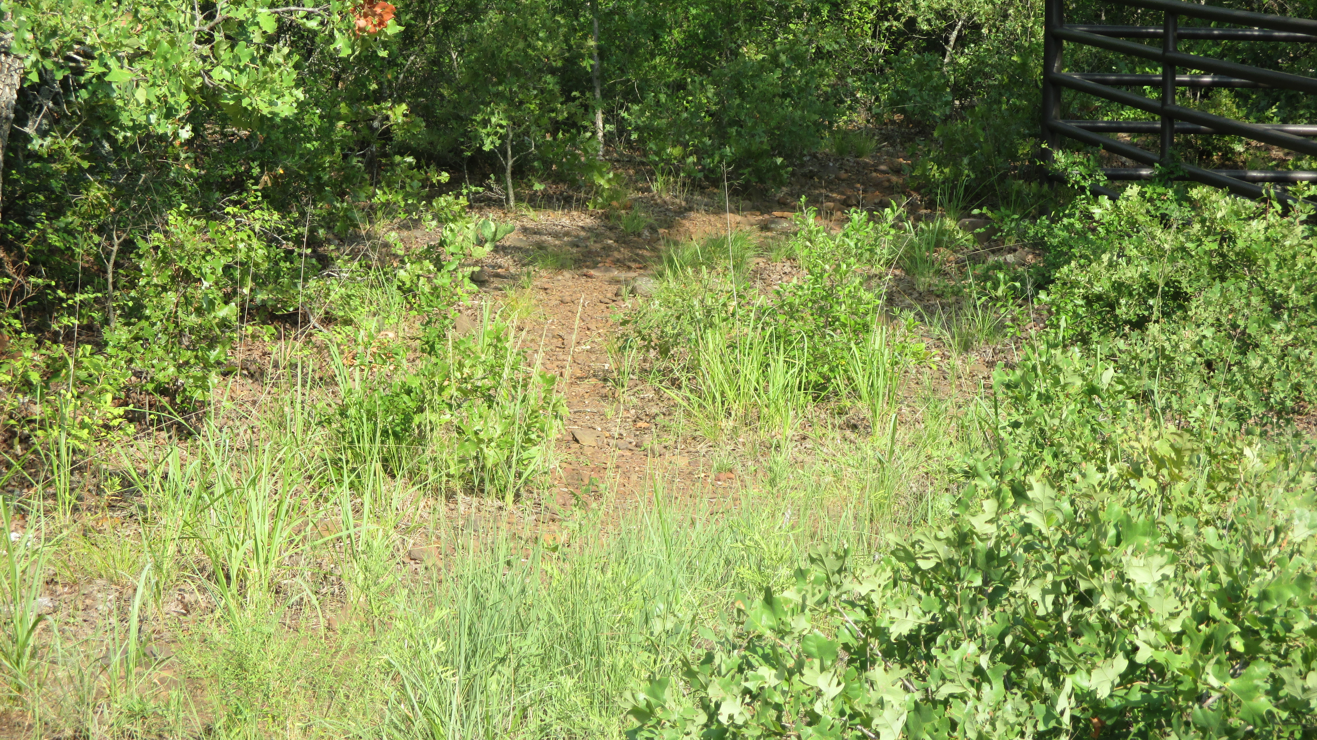
One you get to the corner of the property, it turns north…but then starts going down a ways. It’s really deceptive. I figured I’d gotten this far, lets take it as far as I could go. About 150 feet the trail starts turning back to the west and going up. Bingo! I was not disappointed! I had found the overlook.
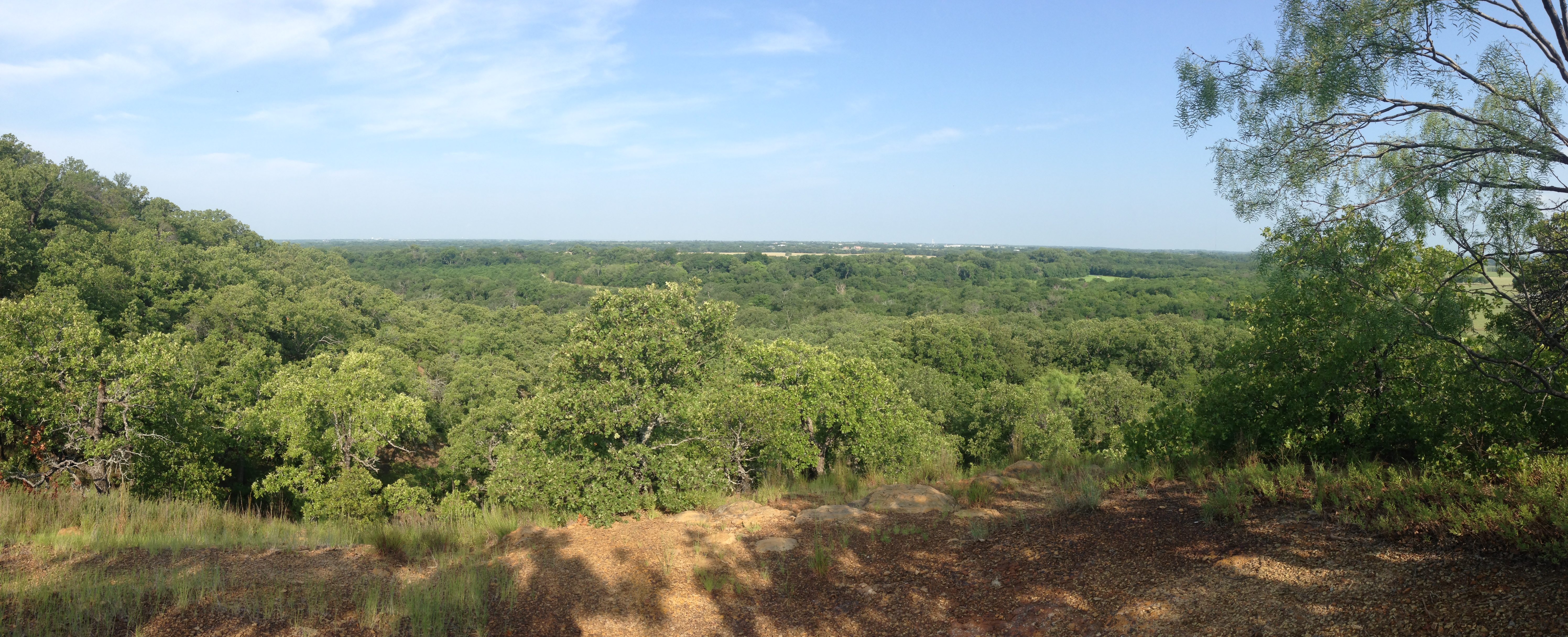
Scenic overlook
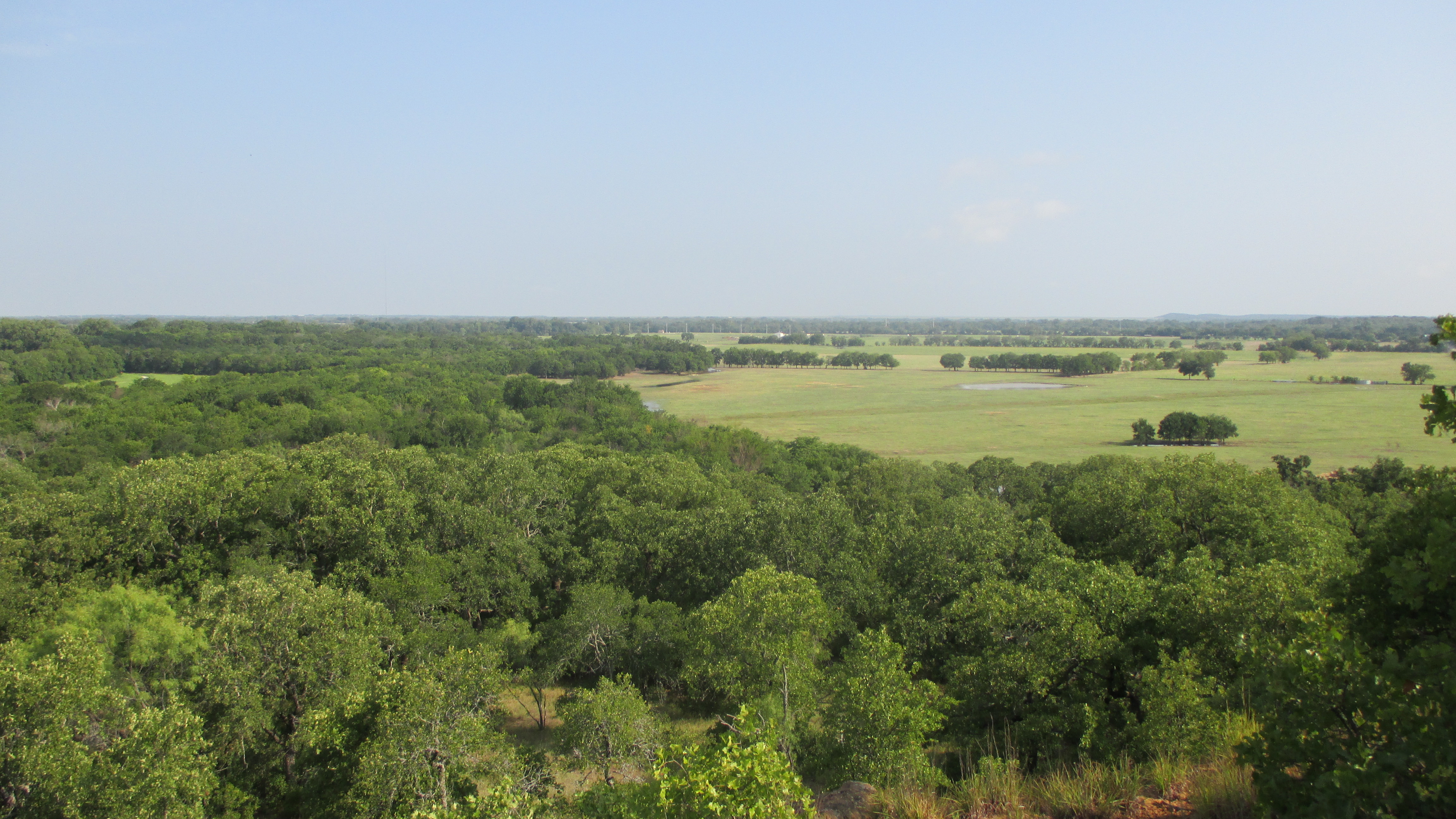
Pasture meet forest
It was really quite amazing up there. I sat, had a bite to eat and drank my water. I could have stayed there a lot longer, but figured I’d needed to head back down. Now from the overlook I found at least two trails directly from the overlook that seemed like they led somewhere, but if they did, I never could see the trail. At this point, I had tracked and back tracked enough and I was convinced that poison oak or ivy was about to be in my future.
I decided to backtrack back to the sign post with the yellow arrow. Instead of following the trail back down the cow pasture, I was able to see a new path that actually led up to the spot I was standing. I decided to follow this trail, and it was indeed a very well marked trail heading back down the hill.
I finally came back out at the very Equestrian Trail sign where I took the first trail up. Except this trail is about 10 paces to the left of the Equestrian Trail sign….
Seriously, how did I miss this?
Anyway…that’s how you get to the scenic overlook…you have two options. I sort of liked my way….nothing like coming face to face with black Angus on the trail!
Back at the original trail, I knew I was little under 2 miles from restrooms. After traipsing in mud, and tracking and backtracking, the thought of squatting in the woods just to invite more poison “oak/ivory” was not my idea of a good time. Screw it…we’re heading to bathrooms.
A quick break and I started back to the trail head. All in all a really good day. I found the overlook, so I can knock that off my list. I still want to hike the Equestrian Trail…it looks like it would be a great challenge! Luckily I have long hiking pants and long sleeve shirts for that hike as I suspect I’ll be doing a bit of bushwhacking.
Now…before we get to the tape…let me share with you my disappointment. I had hoped to reach 100 miles on this trip. But I came up 0.80 miles short. Seriously? Crap…. Ah well…the overlook was the crown jewel of the day!
Miles: 13.93
Time: 05:25:29
Min/Mil: 23:22

Recent Comments